Wizualizacje


Foto: 721640379 Dodaj do
ulubionych
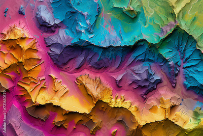
Fototapeta: Digital elevation model. GIS product made after proccesing aerial pictures taken from a drone. It shows high rocky and steep mountain peaks. At their feet are visible valleys and mountain lakes
góra szczyt dane antenowe topograficzny model mapa